Gauja Riverside Path — Walking With the River
A scenic 4.5-kilometer route that hugs the river closely with shaded forest cover most of the way. It's the most scenic longer walk in the area and well-marked throughout.

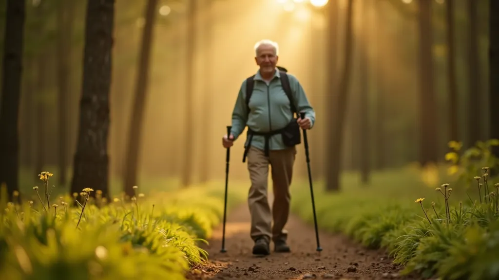
If you're looking for a walk that doesn't rush you but still delivers real scenery, the Gauja Riverside Path is exactly what you're after. This 4.5-kilometer route follows the river closely — you'll never lose sight of the water, which means the whole experience has a calm, meditative quality to it. The forest provides shade for most of the journey, and the path is well-maintained with clear markings throughout.
What makes this trail special isn't just the length. It's the balance. You're getting enough distance to feel like you've actually walked somewhere, but it's broken up nicely by the river views, the forest canopy, and a couple of gentle elevation changes that keep things interesting without being taxing. Most people finish this walk in about 90 minutes to 2 hours, which gives you plenty of time to take photos, rest on benches, and actually notice the details around you.
The Route Itself — What to Expect
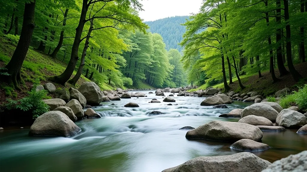
The path starts near the Cēsis area and winds along the Gauja River's left bank. You won't be scrambling over rocks or navigating technical sections. Instead, you're on a well-defined trail that's been maintained specifically for people like you — folks who want a solid walk without unnecessary complications. The first 1.5 kilometers are the most scenic, with the river running right beside the trail and the forest creating a natural tunnel overhead.
Around the midway point, you'll encounter a few gentle inclines — nothing steep, but enough that you'll feel your legs working. The middle section opens up slightly, giving you more sky views and a couple of spots where you can step closer to the river if you want to stop and take in the water. We're talking about areas where you can safely leave the path for a few minutes, sit on a rock, and just breathe.
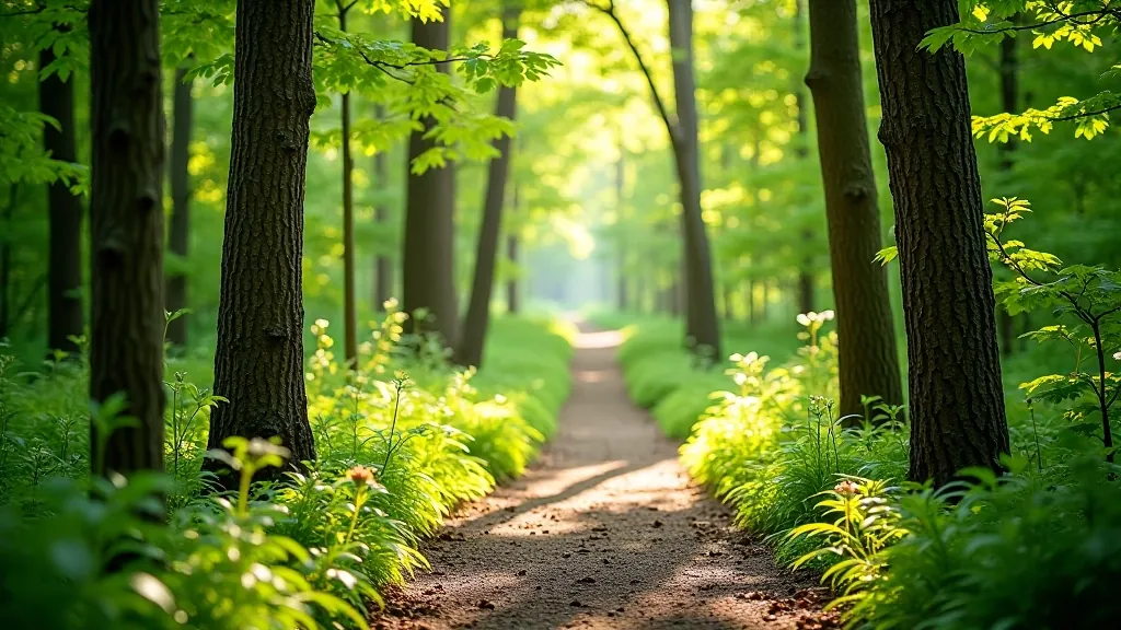
The final kilometer brings you through older forest growth where the trees are genuinely impressive — these aren't saplings, they're substantial, mature trees that create shade and a sense of being somewhere real. The trail exits near a small parking area with a basic rest shelter, which is perfect if you need to sit down before heading home.
Pacing and Rest Points — The Reality
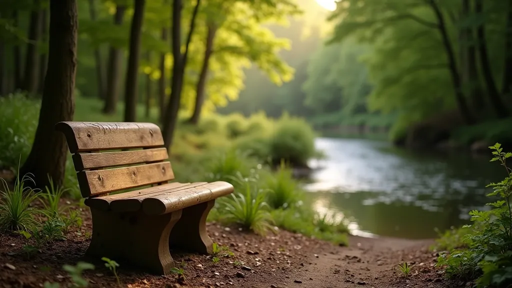
Here's what nobody tells you about longer walks: it's not about speed, it's about stopping. This trail has benches positioned at intervals — there's one at about the 1-kilometer mark, another around 2.5 kilometers, and one more near the end. They're not fancy, but they're solid and they're positioned with views, which means you're not sitting and staring at trees, you're sitting and looking at the river.
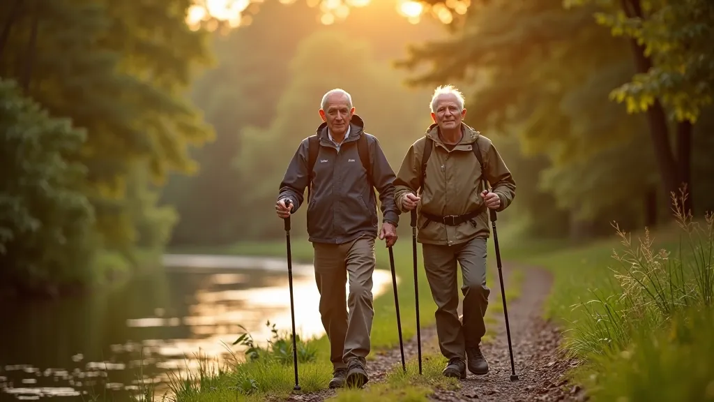
If you're walking with someone else, you'll probably stop three or four times anyway. That's normal. That's actually the point. A walk isn't about covering distance as fast as possible — it's about moving at a pace where you can actually see what's around you. Don't rush this trail. If it takes you two and a half hours instead of 90 minutes, you're not failing, you're succeeding.
The ground is mostly packed earth and forest duff (that's the soft layer of decomposing leaves). There are a few rocky sections, but nothing that'll twist your ankle if you're careful. The path does get slightly muddy after rain, particularly in the middle section, so waterproof hiking shoes or boots are worth having. Regular walking shoes work fine on dry days, but you'll appreciate the ankle support and grip if the weather's been wet.
Practical Details That Matter
The trail is open year-round, though autumn and spring are genuinely the best times. In summer, the forest canopy keeps you cool, but it can get crowded on weekends. In winter, you'll need appropriate footwear — the path gets icy in places. Spring is when the river is highest and most impressive, plus the light filtering through fresh green leaves is something special.
Water access: Don't rely on finding water along the trail to refill a bottle. Bring what you need from the start. Two liters is reasonable for this distance and duration. Food-wise, a couple of snacks — some fruit, maybe a protein bar — is enough. You're not doing an expedition, you're taking a nice walk.
Navigation is straightforward. The markings are clear, and you won't get lost if you stick to the main trail. There are a few minor branches, but they're obviously branches and the main path is always obvious. If you're the cautious type, screenshots of the route on your phone aren't a bad idea, but honestly, following the river and the trail markers will get you where you need to go.
Start early if you can. Not because you need hours and hours, but because starting at 9 or 10 in the morning means you'll finish mid-afternoon and won't be rushing. You'll see more, you'll stop more, and you'll actually enjoy yourself instead of watching the clock.
Why This Walk Works for You
The Gauja Riverside Path isn't a test. It's not designed to push your limits or prove anything. It's designed to get you outside, moving at a comfortable pace, surrounded by genuinely beautiful scenery. The river gives you something to focus on, the forest keeps the temperature pleasant, and the distance is enough to feel substantial without being overwhelming.
You'll notice your legs feel stronger after a few weeks of doing this regularly. You'll sleep better. And you'll actually look forward to the next walk instead of dreading it. That's what a good trail does — it doesn't intimidate, it invites. This one does that really well.
Ready to Walk?
The Gauja Riverside Path isn't complicated. Pick a day when the weather looks reasonable, wear comfortable shoes, bring water, and show up. You'll spend your time moving along one of the most scenic stretches of river in the Gauja Valley, with good trail markings and plenty of spots to rest. It's a walk that gives back what you put into it — not in terms of physical challenge, but in terms of how good you'll feel afterward.
This is the kind of walk that becomes a regular habit, not because you feel obligated, but because you genuinely want to. That's the real measure of a good trail.
This guide is for informational purposes and reflects conditions at the time of writing. Trail conditions, markings, and facilities can change. Always check current weather forecasts, bring appropriate gear, and let someone know your plans. If you have specific health concerns, consult your doctor before undertaking any hiking activity. Walking on natural trails carries inherent risks — proceed at your own pace and within your fitness level.